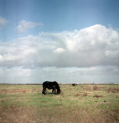
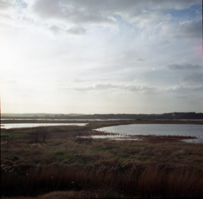
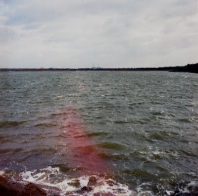
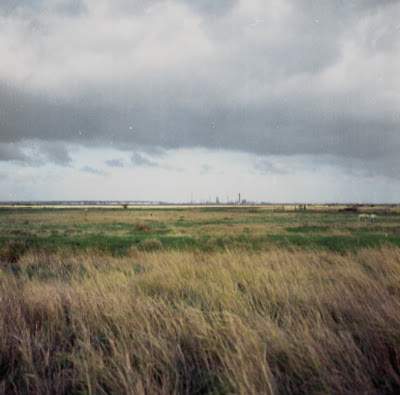
Blowing off the lakes of the bird reserve, a strong, cold, winter westerly means wrapping up in wind-cheater, hat and hood. I follow the rutted track. A couple walk towards me, only a handful of other people are around. There is very little interpretation, just a few small markers labelled; Cliffe Pools, Thames Boundary, and Magwitch Lookout. Such a relief from many areas of historical or natural importance, which have been interpreted out of any magic or myth they might hold for the Psychogeographer. I feel pleased that my meanderings have got me exactly to the place I wanted to be. I walk along the dirt road, with an expanse of drained marshland ahead and to the right. Small shaggy ponies and sheep graze on the flat grass fields bordered by dykes and ditches. Straight ahead, ships cut through the horizon as they glide downriver. Refineries can be seen in the distance.
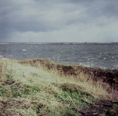
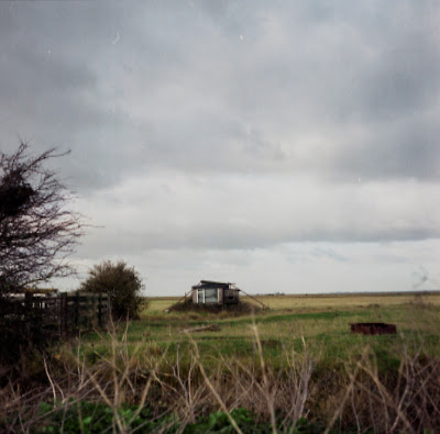
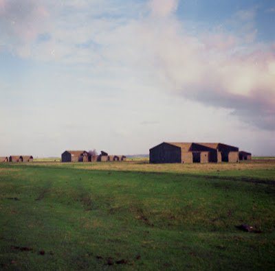
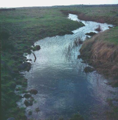
I pass isolated farm buildings and rusty 4×4’s, caravan, and shack. Two scramblers buzz by, I take a path north, through an open gate, and towards some ruins with trees growing among them. I spot some more structures further north including a bunker. I guess these are former WWII structures. Crossing a dyke on an old scaffolding plank, I walk towards these enigmatic structures, sheep scattering and ponies plodding as though a bow wave pushes them to each side. The wind pushing me back, I reach the Levee, but before it is a wide dyke with no way to cross it. So close to the river but unable to see it. The only sign that there’s a great estuary here is the occasional ship. I turn back into a low winter sun and make my way back across the flat, close-cropped fields. Skirting dykes back to the gate that is now shut, climb over and back to Magwitch Lookout and to the saxon shore of Cliffe.